
 It seems like Google has vowed to not learn from its mistakes, as a recent finding shows that its Google Maps has committed yet another blunder, this time around showing a major part of Pakistan as belonging to India.
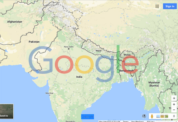
This maps however, is available only in the Indian version of Google Maps i.e. www.google.co.in/maps and not on its international version i.e. www.google.com/maps.
The international version is below:
 The Indian version however, shows areas i.e. Skardu, Muzaffarabad, Gilgit, Deosai, Rawalakot, and the Shandur National Park part of India. Even the second largest peak on earth K2 which is situated on the Pak-China border is shown as part of India.
However, the question why there is a clear difference between the international versions and local versions of the same Map remains a mystery.
Just day’s back Google faced international criticism over marking Palestinian territories as parts belonging to Israel. The move was slammed from all corners, which lead the search engine to come out on defense.
"There has never been a 'Palestine' label on Google Maps," said a Google spokeman.


Comments
Comments are closed.