
BR100 Decreased By (-0.94%)
BR30 Decreased By (-0.94%)
KSE100 Decreased By (-0.9%)
KSE30 Decreased By (-1.05%)
AGHA 7.65 Decreased By ▼ -0.16 (-2.05%)
BECO 5.14 Decreased By ▼ -0.07 (-1.34%)
BML 57.30 Decreased By ▼ -0.20 (-0.35%)
BOP 33.95 Decreased By ▼ -0.08 (-0.24%)
CNERGY 9.92 Decreased By ▼ -0.04 (-0.4%)
CSIL 5.25 Decreased By ▼ -0.06 (-1.13%)
FCCL 53.50 Decreased By ▼ -1.20 (-2.19%)
FFL 16.55 Decreased By ▼ -0.14 (-0.84%)
FNEL 1.22 Decreased By ▼ -0.01 (-0.81%)
KEL 7.28 Decreased By ▼ -0.12 (-1.62%)
KOSM 5.86 Increased By ▲ 0.09 (1.56%)
LOTCHEM 29.10 Decreased By ▼ -0.22 (-0.75%)
MLCF 92.15 Decreased By ▼ -2.21 (-2.34%)
NBP 201.10 Decreased By ▼ -1.95 (-0.96%)
NCPL 56.97 Decreased By ▼ -0.03 (-0.05%)
NPL 66.75 Decreased By ▼ -0.95 (-1.4%)
OGDC 314.40 Decreased By ▼ -1.44 (-0.46%)
PACE 10.53 Decreased By ▼ -0.11 (-1.03%)
PAEL 42.05 Decreased By ▼ -1.15 (-2.66%)
PIBTL 16.47 Decreased By ▼ -0.27 (-1.61%)
PPL 217.00 Decreased By ▼ -2.78 (-1.26%)
PRL 50.60 Increased By ▲ 1.41 (2.87%)
PTC 69.90 Decreased By ▼ -0.63 (-0.89%)
SSGC 26.99 Decreased By ▼ -1.26 (-4.46%)
TBL 9.78 Decreased By ▼ -0.08 (-0.81%)
TELE 8.69 Decreased By ▼ -0.10 (-1.14%)
TPL 18.21 Decreased By ▼ -0.03 (-0.16%)
TPLP 13.42 Increased By ▲ 0.15 (1.13%)
TREET 22.50 Decreased By ▼ -0.22 (-0.97%)
TRG 59.71 Decreased By ▼ -0.43 (-0.71%)
By

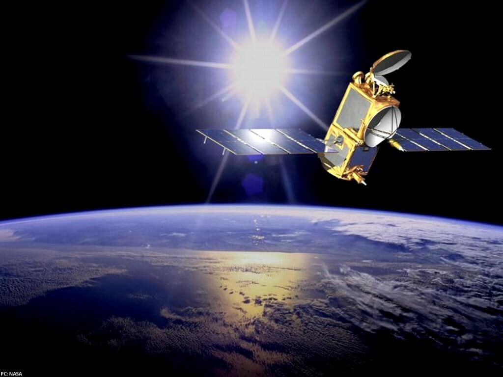
BENGALURU: India launched on Wednesday a $1.5 billion, first-of-its-kind radar imaging satellite built in collaboration with NASA, deploying it to help enhance global monitoring of climate change and natural disasters.

The NASA-ISRO Synthetic Aperture Radar, or NISAR satellite, is the first such collaboration between the Indian Space Research Organisation (ISRO) and U.S. space agency NASA.

It took off from India’s Satish Dhawan Space Centre at 1210 GMT or 1740 local time atop a medium-lift rocket, marking a milestone in space cooperation and bolstering India’s profile in low-cost, high-impact satellite missions.

Pakistan set to launch advanced Remote Sensing Satellite this week

NISAR is the world’s first radar imaging satellite to use two radar frequencies - the L-band provided by NASA and the S-band developed by ISRO - to track minute changes in the Earth’s surface, including movements as small as a centimetre, the space agencies have said.

Comments

Comments are closed for this article.