


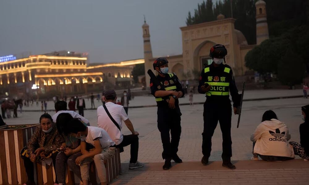

This is apropos a letter to the Editor ‘The foundations of Xinjiang’s transformation (1949–1990)’ carried by the newspaper yesterday. At liberation, Xinjiang symbolized both challenge and promise.
Covering 1.66 million square kilometers — one-sixth of China’s total territory — it was a landscape of extremes: towering mountains, endless deserts, and small, fertile oases clustered along the Tarim, Ili, and Junggar basins.
Nearly 80 percent of the province was arid or semi-arid, dominated by the Taklamakan and Gurbantünggüt deserts and encircled by the Tianshan, Kunlun, and Altai ranges. But geography was destiny. Xinjiang’s 5,600-kilometer frontier touched eight countries — Russia, Mongolia, Kazakhstan, Kyrgyzstan, Tajikistan, Afghanistan, Pakistan, and India — making it China’s most internationally connected province by land.
For centuries, its cities like Kashgar, Hotan, and Urumqi had been jewels on the Silk Road, linking Chinese merchants with Persian, Turkic, and European traders. After 1949, the same geography that had once carried caravans and ideas promised to carry pipelines, highways, and digital networks. Xinjiang was no longer a distant periphery to defend; it was a bridge to connect.
Yet this vast potential stood on fragile foundations. In 1949, Xinjiang’s population numbered only 4.3 million, scattered across oases and highland pastures. Illiteracy exceeded 90 percent in many districts, infant mortality was over 200 per 1,000 births, and life expectancy barely reached thirty years.
Per-capita income was estimated below 150 yuan a year — roughly sixty U.S. dollars at contemporary rates. Infrastructure was primitive: fewer than 3,000 kilometers of mostly unpaved roads, no railways, and negligible industrial capacity. The region’s economy remained predominantly subsistence-based, shaped by traditional farming and herding, and vulnerable to drought, disease, and isolation.
Copyright Business Recorder, 2025
The writer is a former Press Secretary to the President, An ex-Press Minister at Embassy of Pakistan to France, a former MD, SRBC Macomb, Detroit, Michigan











Comments
Comments are closed for this article.