


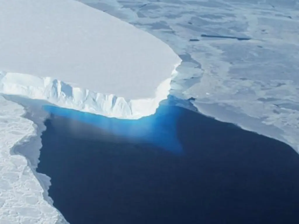
ISLAMABAD: The number of unfrozen glacial lakes in Pakistan rose from 40 to 105 in less than two months, according to satellite imagery assessed by the country’s national space agency between July and August.
In a statement, the Space and Upper Atmosphere Research Commission (Suparco) said that the latest assessment was based on time-series satellite imagery, with the latest image acquired on August 5.
All identified lakes were mapped using optical satellite imagery to estimate their surface area and determine whether they were frozen or unfrozen, it said.
As expected with rising summer temperatures, the number of unfrozen glacial lakes had increased, Suparco said.
“At present, 105 lakes are observed to be unfrozen, compared with 40 lakes reported earlier. The current assessment also indicates temporal variation in extent, where a few lakes have exceeded their previous recorded maximum extents,” it said.
Temporal variation refers to changes in a lake’s size or boundary over time. The fact that some lakes have exceeded their recorded maximum extent means they are larger than at any previously recorded point.
Suparco said persistent cloud cover following its previous report in July had limited the availability of cloud-free satellite imagery, making it difficult to accurately assess changes in lake areas.
On July 2, Suparco had identified 40 unfrozen lakes, indicating accelerated seasonal melting. At the time; however, most unfrozen lakes remained within their previously recorded maximum extents.
A glacial lake becomes a greater concern when its water extent expands beyond its historical maximum, Suparco said. This may indicate increased water storage and a greater risk of moraine dam instability or failure, potentially triggering a glacial lake outburst flood (GLOF).
With temperatures continuing to rise and the number of unfrozen lakes increasing, the agency advised all relevant authorities to maintain a high level of preparedness, “particularly in downstream valleys of potentially dangerous glacial lakes”.
“Regular satellite monitoring will continue throughout the melt season to detect any rapid lake expansion or other signs of increased GLOF risk, enabling timely dissemination of alerts and supporting proactive disaster risk management,” it said.
Copyright Business Recorder, 2026

















Comments